
Explore Tasmania on Two Wheels
Discover the best gravel, road, and bikepacking routes across Tasmania. From forested backroads to coastal loops, our curated local routes guide helps you plan your next cycling adventure. Whether you’re after a one-day challenge or an overnight bikepacking trip, we’ve got something for everyone.
Hobart & Surrounds Cycling Routes
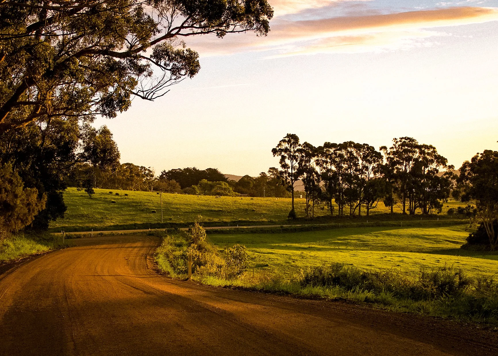
Mount Nelson Loop
Distance: 25 km | Elevation: 500 m
A punchy climb with panoramic views over the Derwent — perfect mid-week challenge.
View Route
Kingston Beach Spin
Distance: 30 km | Elevation: 400 m
A breezy out-and-back ride to Kingston Beach — coffee, sea breeze, and chill vibes.
View Route
Leslie Vale Explorer
Distance: 45 km | Elevation: 750 m
Quiet country roads and rolling hills make this loop a local favourite.
View Route
Springdale Circuit
Distance: 50 km | Elevation: 1000 m
A peaceful loop through apple country and quiet hillsides.
View Route
Grasstree Ride
Distance: 75 km | Elevation: 800 m
A gravel adventure that climbs to big views — prepare for a challenge.
View Route
Commando Trail
Distance: 70 km | Elevation: 1300 m
High-octane climbs and classic Tassie forest roads — not for the faint-hearted.
View Route
Channel Loop (Short)
Distance: 112 km | Elevation: 2000 m
A stunning coastal ride that punches well above its weight for scenery.
View Route
Channel Loop (Long)
Distance: 135 km | Elevation: 2400 m
The full scenic route with rolling coastlines, farmland, and quiet towns.
View Route
Bruny Island Day Ride
Distance: 130 km | Elevation: 1700 m
Ocean views, gravel goodness, and ferry adventure — a classic Tassie ride.
View Route
Hamilton Highlands
Distance: 165 km | Elevation: 2500 m
Remote roads, old stone buildings, and big sky country riding.
View Route
Collinsvale-Moogara Loop
Distance: 120 km | Elevation: 2500 m
One of our most diverse loops — forest, farmland, and fast-flowing roads.
View Route
Derwent Valley & Styx Valley Loop
Distance: 120 km | Elevation: 2500 m
Epic day ride or overnight to Mount Field — rolling farmland, bush, and stunning Tassie gravel.
View Route
Hartz Mountain Loop
Distance: 110 km | Elevation: 1800 m
Challenging southern Tassie gravel adventure with river crossings and optional camping at Tahune Airwalk.
View Route
Southern Tasmanian Gravel Loop
Distance: 90 km | Elevation: 2000 m
Hilly but scenic loop from Summer Kitchen Bakery to Mount Field — perfect for an overnighter.
View Route
Geeveston to Dover Loop
Distance: 80 km | Elevation: 1400 m
Mix of forestry, coastal roads, and quiet backroads — don’t miss Masakii Sushi in Geeveston!
View Route
Bruny Island Gravel Loop
Distance: 25–30 km | Elevation: 600 m
Fun loop over Mt Magna and Sheepwash Bay with a cheeky forestry detour — perfect short adventure.
View Route
Weld Flyer Loop
Distance: 65 km | Elevation: 1600 m
Historic MTB race route converted to gravel adventure — Lonnavale forests, Tahune Airwalk, and back to Ranelagh.
View RouteIf you’re new to nipaluna/Hobart or just visiting and have a bike and a few hours to spare, then we’ve put together a few route options to help you get around!
This is just a basic list to try and help have better information and access to route options around nipaluna/Hobart. There are many variations of each of these loops, however we hope it gives you a good starting point for exploring our backyard. We are always very happy to assist with getting around Hobart, so if you have any questions, please do not hesitate to reach out!